PORTFOLIO
Theresa Monari
Personal Project
GIS
Remote Sensing
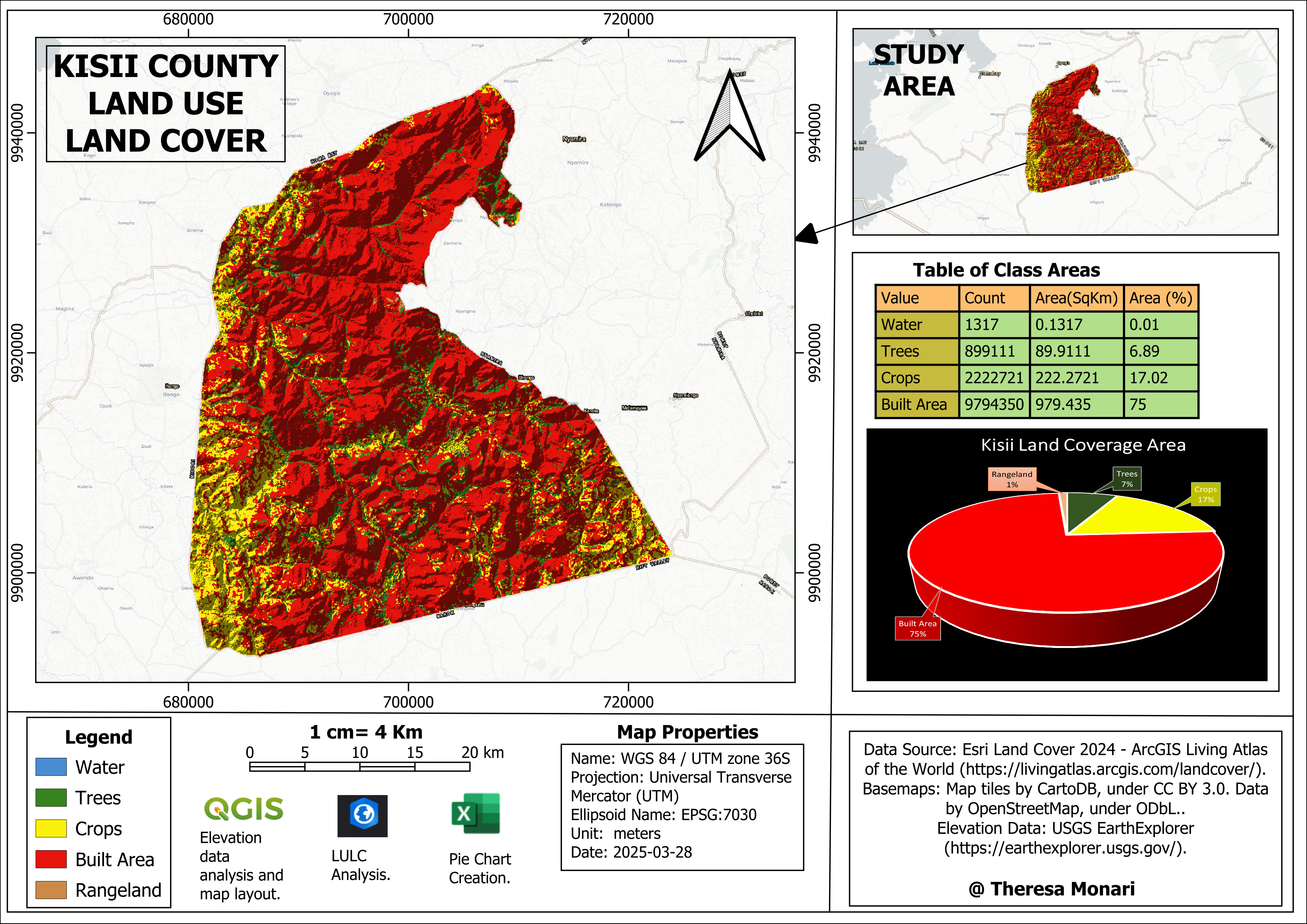
This project aims to analyze and map the Land Use and Land Cover (LULC) of Kisii county in Kenya, East Africa. The analysis utilizes ESRI’s ArcGIS Pro and QGIS software to classify land cover types, such as built-up areas, agricultural land, and forests, as of 2024. The results will support sustainable land management, environmental management, and urban planning.
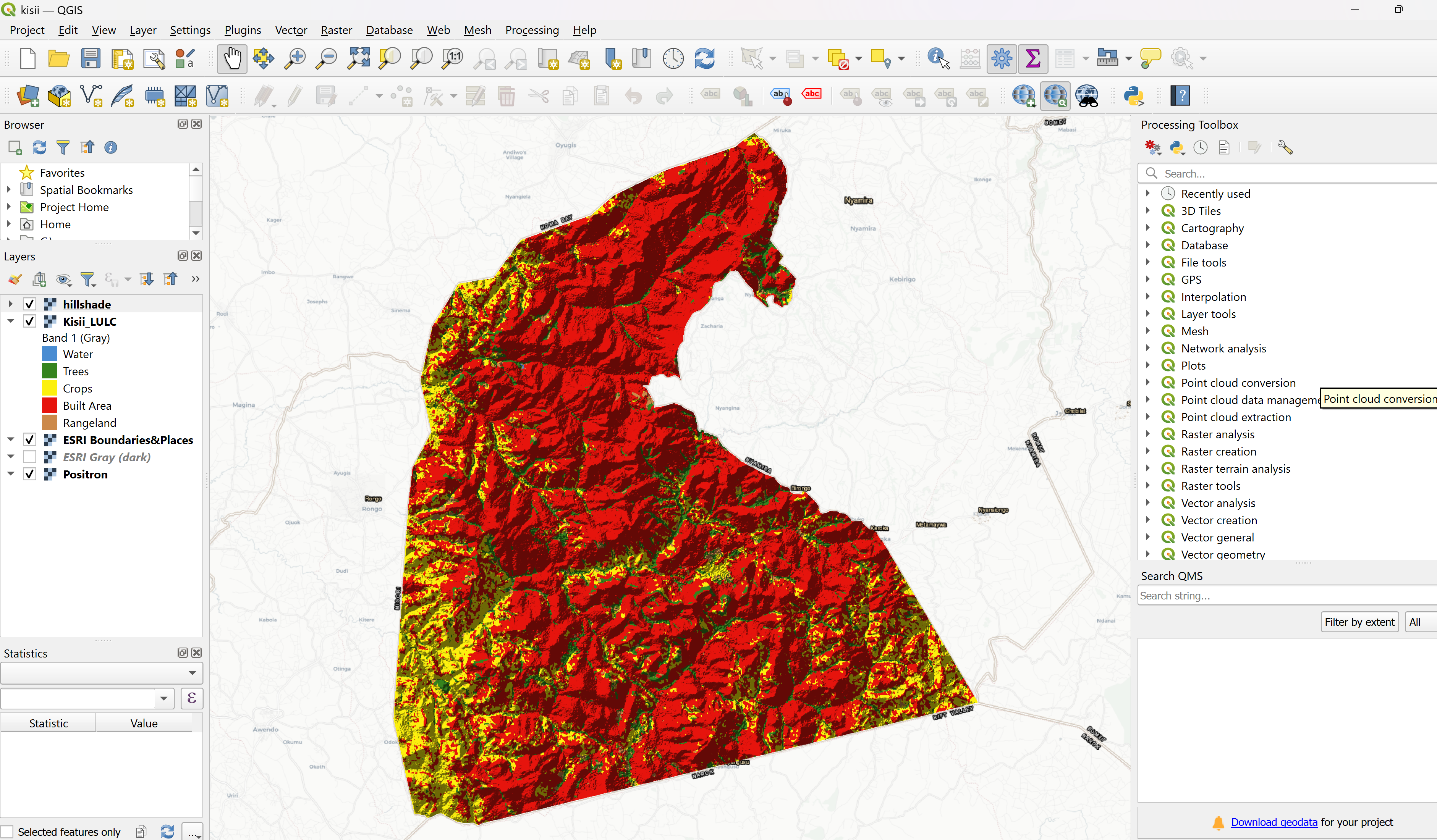
The analysis involved using the Sentinel-2 10-meter satellite imagery of Kisii County in ArcGIS Pro, where I classified the variables. I then assigned appropriate colors to the various variables in the classified results using the symbology tool. In the attribute table, I calculated the Area covered by each variable and their corresponding percentages before exporting the raster layer for further analysis in QGIS. Before starting QGIS analysis, I transferred the attribute table data to Microsoft Excel software where I represented the data in a Pie Chart. In QGIS, I added elevation data (SRTM DEM) from USGS Earth Explorer. Using the QGIS Processing toolbox, I ran the Hillshade tool under GDAL. The results obtained I symbolized it and multiplied the blending mode under layer rendering a brightness level of 110. I overlayed the raster layer with the land use land cover data with the Hillshade layer before printing out the layout.
This project will provide the Kisii county government and stakeholders with actionable insights for:
By leveraging ArcGIS Pro and QGIS, this land use and land cover project showcases a comprehensive analysis of Kisii County's land dynamics. The results will help policymakers, stakeholders, and researchers make informed decisions for sustainable development.
Theresa Nyatichi Monari
Email: nyatichitheresa@gmail.com
Please feel free to contact me. I look forward to hearing from you!