|
|
||
|
|
|
|
|

|
|
|
The Technical University of Kenya | Nairobi, Kenya.
Bachelor of Technology in Surveying Technology
More of my Research is here:
Verbal Communication (Written & Oral) | Analytical | Leadership | Time Management | Critical Thinking | Honesty & Integrity | Team Player | Adaptive and Flexibility | Detail Oriented | Problem Solver | Interpersonal Skills.
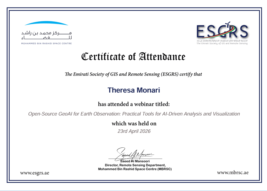
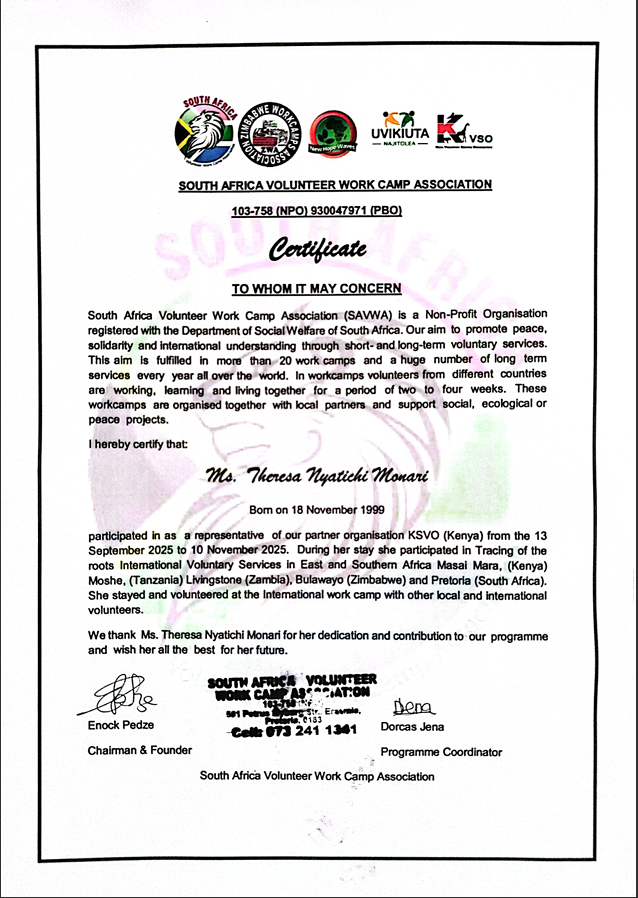
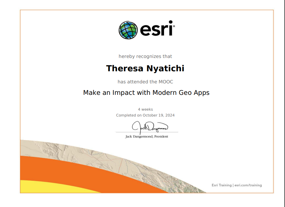
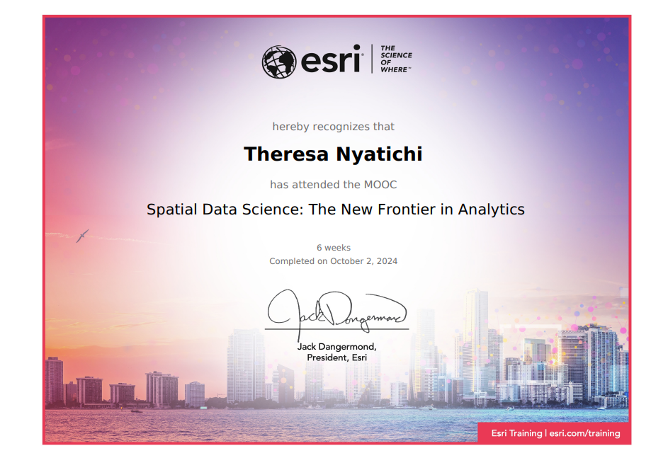
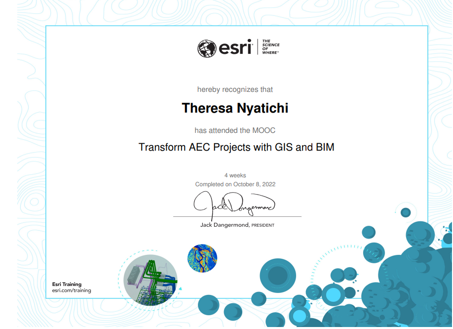
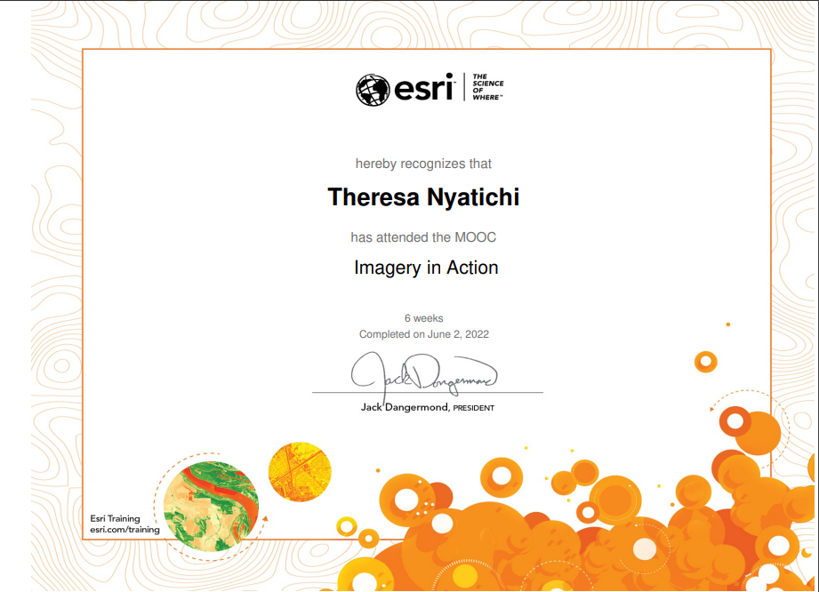
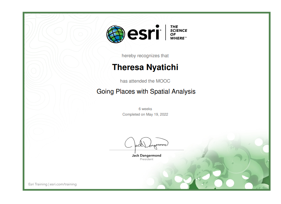
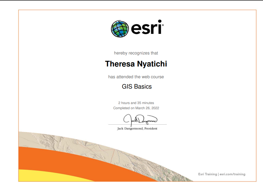
Welcome to a collection of my awards and certifications.
|
|
|
||
|
|
|
|
|
|
|
|
|
|
Theresa N. Monari
Email: nyatichitheresa@gmail.com
Please feel free to contact me. I look forward to hearing from you!