PORTFOLIO
Theresa Monari
Mr. Tom Mumo
The Technical University of Kenya
Geographical Information Science
Education is regarded as one of the most effective means of reducing poverty, providing people with opportunities to better their lives and raise their voices, improving their health and productivity, and encouraging participation in civil society activities. It has been observed that growing the number of students who complete high school contributes to economic growth, social and political stability, a decrease in crime, and improved social services. School enrollment is the gateway to the education system, and research into it and its accessibility to the population of people easily has a significant impact on education management. Students’ enrollment is impacted by various factors such as the population of people, educational facilities, environmental conditions, institutional barriers, and physical access.
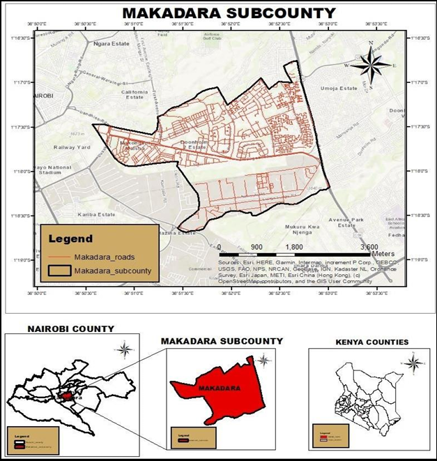
The primary goal of this study was to show how to use a Geographic Information System (GIS) to determine the relationship between CBC school access, school enrollment, and people’s population. The study's methodology included collecting various datasets for schools, populations, and roads in Makadara Sub County, which is part of the larger Nairobi County in Kenya. This was accomplished by collecting school spatial and enrolment data, population data, and road spatial data. The proximity distances of schools to the population in the area utilizing data collected and analyzed using ArcGIS 10.8 software. Projections for the population of school-aged children in the area of study and in the catchment area of each school were made using 2019 population census data. The catchment area was determined by using the schools as sample data points to create Thiessen polygons. The proposal for locations of new secondary schools was determined by considering the population in the area, the locations of already established secondary schools, the school enrollment, and the road network in the area.
The key findings were maps of school distribution and population in the area, as well as enrollment versus school-to-road distances. The findings revealed a strong relationship between population proximity, school location, and school enrollment. The gap between actual and proposed locations of secondary schools decreased. Actual enrolment decreased as school distances from the nearest roads increased. As a result of the study's objective, the relationship between school distribution access, the population, and school enrollment wasdetermined.
Theresa Nyatichi Monari
Email: nyatichitheresa@gmail.com
Please feel free to contact me. I look forward to hearing from you!